01
Orthophoto and Topographic Mapping
High-resolution orthophotos and up-to-date topographic maps from drone flights: an accurate base for planning, permitting and design.

From concept to completion, we create architectural solutions tailored to the site, climate, and way of life, transforming your vision into a buildable reality.
Can Group's architectural design and planning unit brings our on-site experience, spanning excavation through construction, to the drawing board. Projects designed by a team that understands the ground, infrastructure, and construction process minimize unforeseen issues during delivery.
We have an in-depth understanding of regional planning regulations, terrain, and architectural character. From residences and villas to commercial buildings, we support you at every stage, from permitting through construction documentation.
The design process starts with real data from the field: photogrammetric surveys with our LiDAR-equipped drone give us the terrain's current slopes, levels and volumes from the very first sketch.
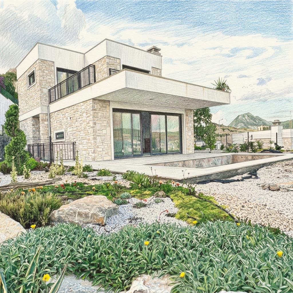
The advantage of bringing design and construction under one roof: every project is developed with on-site feasibility in mind.
Design Informed by Site Experience
A team that understands ground conditions and construction processes creates practical, buildable designs.
Local Expertise
We have an in-depth understanding of regional planning regulations and architectural character.
One Point of Contact
Manage the entire process, from design to turnkey delivery, with a single partner.
Realistic Budgeting
Projects are developed with realistic cost and schedule forecasts.
With our LiDAR-equipped drone system we scan the terrain from the air, managing design, excavation and construction with up-to-date, centimetre-accurate data. Work that takes days with conventional surveying is completed in hours, and the results feed directly into design and quantity work.
EquipmentDJI Matrice 400 flight platform · Zenmuse L3 LiDAR sensor (1535 nm) · 2 × 100 MP RGB cameras · 3 cm vertical / 4 cm horizontal accuracy (120 m altitude)
High-resolution orthophotos and up-to-date topographic maps from drone flights: an accurate base for planning, permitting and design.
The LiDAR sensor captures the ground even beneath vegetation; digital terrain and surface models (DTM/DSM) are produced with centimetre accuracy.
Volume measurement for excavation, fill and stockpile areas: reliable quantities for cut-fill balance, progress payments and scheduling.
Regular flights document site progress and compare the works against the design; existing structures are surveyed as built.
Contact
Do you have a project or a question about architectural design and surveying?
The subject is preselected in the contact form; our team will get back to you shortly.